The History of Murcia’s Hidden Water
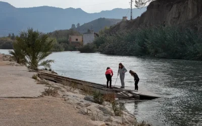
Just minutes from the city of Murcia, the depths of the El Valle y Carrascoy Regional Park safeguard an invaluable historical heritage, closely linked to the survival and development of the regional capital during the past century. The area of Santa Catalina del Monte is home to a fascinating underground hydraulic system whose roots stretch back to the 16th century and into the very prehistory of the Verdolay region. Through water—the undisputed protagonist of this narrative—a chronicle of epidemics, 19th-century engineering, and mysteries buried by time is woven, which contemporary research has successfully brought back to light.
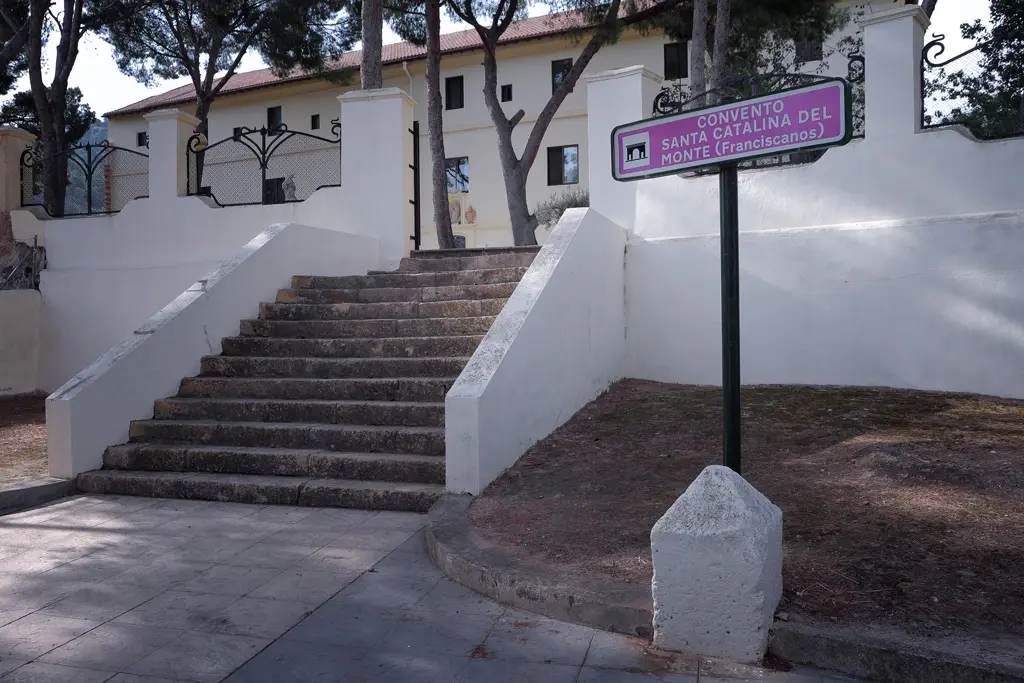
The Monastery of Santa Catalina del Monte in 2017
The Millenary Origins of the Aquifer and the Friars’ Secret
The original spring of Santa Catalina del Monte has sustained the various cultures that have inhabited the Verdolay area since ancient times. This natural resurgence, fed by the aquifer located beneath the current Castillo de la Luz (Castle of Light), was leveraged centuries later by the Congregation of Friars from the adjacent convent. The friars tapped into the waters by constructing a complex drainage gallery and underground reservoirs located deep beneath the hill.
Documentation from the end of the 16th century already reflected unrest in the area due to the alleged discovery of an archaeological treasure near the convent, where illegal excavations eventually diminished the flow of the original spring. Later, in 1771, historical annals record significant improvement works on the hill to guarantee the supply of the religious complex, forming the core of what is known today as the underground hydraulic system of La Luz.
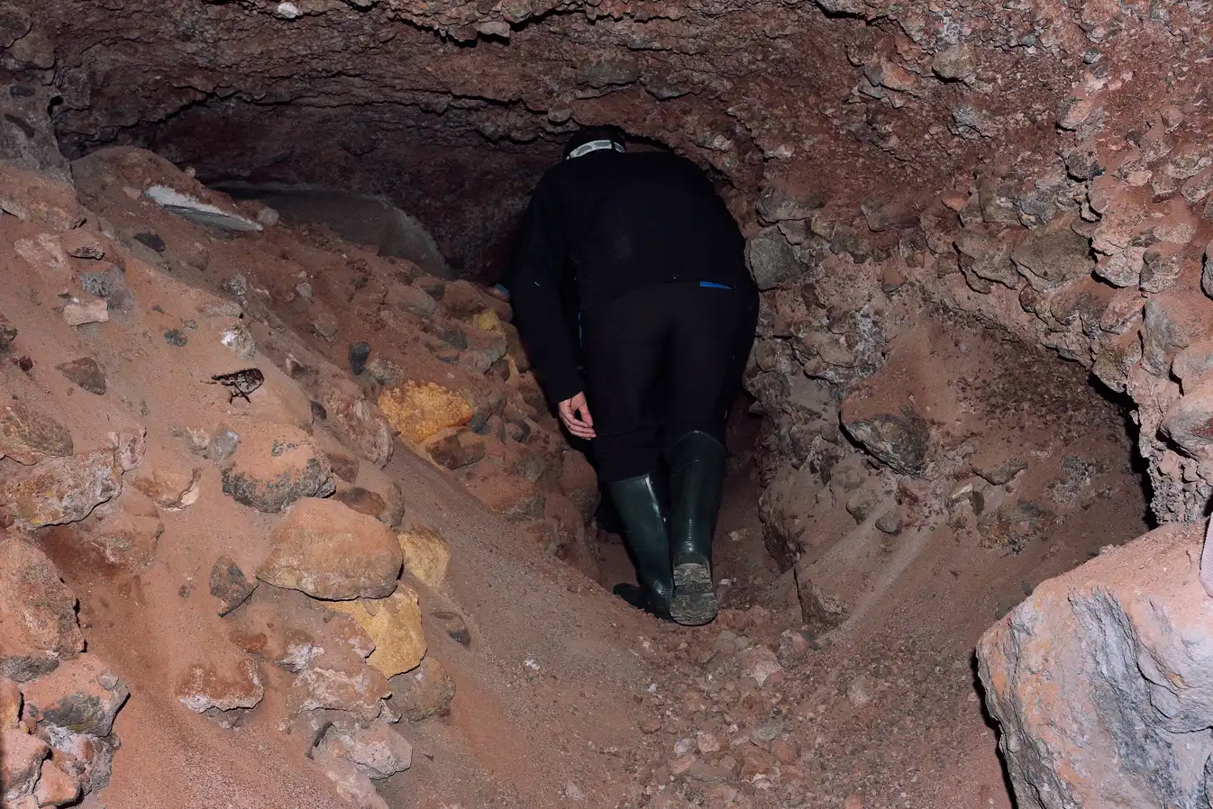
A photo of the instability of the structures and the real risk of collapse
The 1885 Cholera Crisis and the Drinking Water Company
The true historical turning point for this underground environment came at the end of the 19th century. The city of Murcia and its entire orchard region (huerta) suffered virulent cholera epidemics that severely decimated the population. Faced with evidence that contaminated water was the primary source of infection, the Murcia City Council launched a public tender in 1885 to provide the city with a safe drinking water system.
The winning proposal was submitted by the industrialist Antonio Hernández Crespo, who planned to supply the city by systematically exploiting the Santa Catalina del Monte aquifer, establishing the Sociedad de Aguas Potables de Santa Catalina del Monte (Santa Catalina del Monte Drinking Water Company) for this purpose.
The works channeled the resource from the vicinity of the convent to the urban center via the Santa Catalina road, inaugurating the first public supply fountain near the Iglesia del Carmen, before later expanding to other plazas in the city. However, this success was short-lived due to the overexploitation of the aquifer for irrigation and industry, which reduced the daily flow to barely one hundred cubic meters. This triggered a serious contractual dispute with the city council, forcing new mining excavations throughout the mountain in an attempt to recover the flow of drinking water.
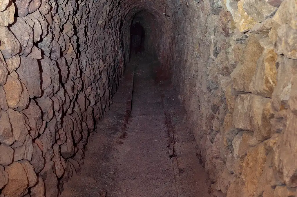
Remnants of the old tracks used by the mining cars
The Structure of the Hydraulic Complex
Following years of oblivion and the loss of its exact location over time, researcher Pablo Jiménez managed to locate and meticulously document this intricate subterranean labyrinth. Research confirms that the complex consists of three clearly distinct levels, reflecting the different uses of the gallery throughout history.
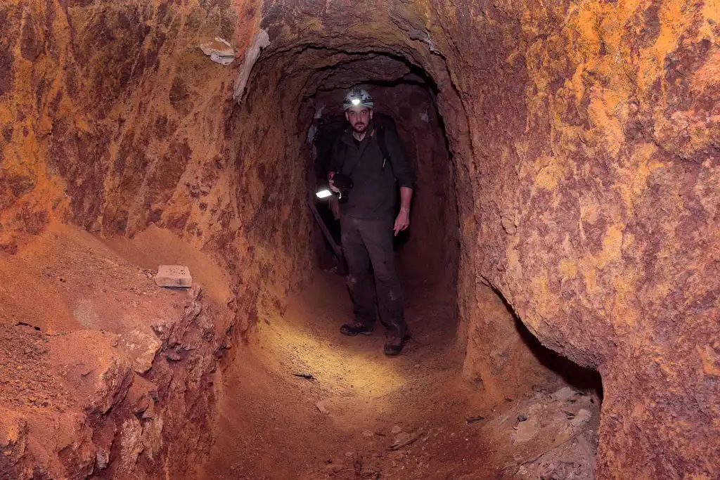
The first level corresponds to pure mining exploitation and the operations of the Drinking Water Company, a sector where the old rails for the extraction carts can still be seen, allowing independent external access without needing to request permission from the congregation of friars.
Descending to the second level grants direct access to the water network, characterized by a dense overlay of pipes from different eras and by the original drainage gallery that carried water to the convent, which is currently collapsed in some sections due to modern buildings on the hillside surface. At this same level, two impressive underground reservoirs with barrel-vaulted ceilings are located.
Finally, a set of stairs leads to a third level that remains completely flooded, preventing researchers for the time being from determining whether further hidden galleries exist beneath the water.
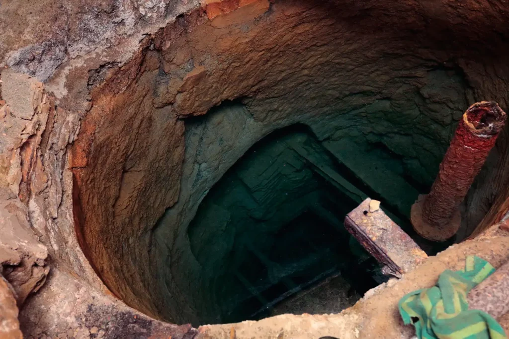
Stagnant water and the reflection in the flooded area
The Expedition into the Depths of Murcian History
Modern incursions into this environment require strict safety protocols due to the instability of the structures and the real risk of cave-ins. The exploration route, visually documented by photographer and speleologist Jerome van Passel, begins through an extremely narrow access point that forces visitors to crawl on all fours for the first few meters.
Inside the narrow, two-hundred-meter-long gallery, the atmosphere changes drastically due to intense humidity and total darkness, broken only by high-powered flashlights. The path, which barely exceeds one meter and seventy centimeters in height at various points, preserves the mining rails and reveals critical areas where the accumulation of sand and stones evidences minor previous collapses, demanding a swift and cautious passage.
After overcoming the narrowest zone, the ceiling gains height as it approaches the main hall—an imposing chamber located fifty meters underground. Here, the distribution dome remains in perfect condition, marking the spot where extraction pumps were once installed to push water up to the hillside before directing it by gravity to Murcia.
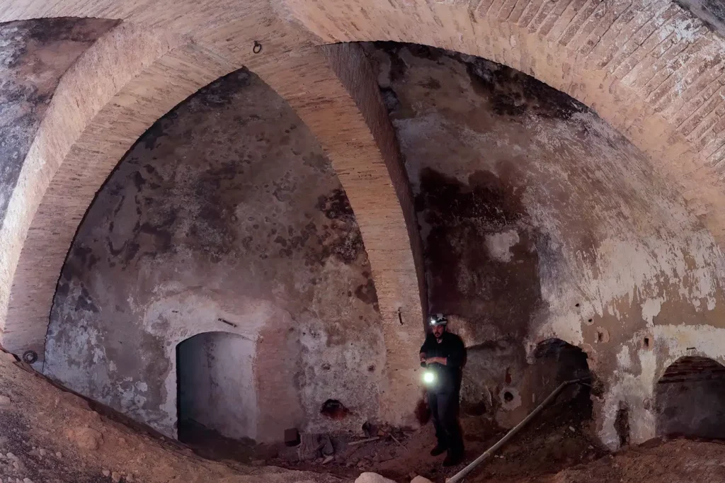
Wide-angle view of the main hall
From there, a further ten-meter descent down a deteriorated staircase leads to the flooded lower sector. At this point, at a total depth of sixty meters, water covers the floor but allows for the admiration of two gigantic vaulted reservoirs, fifteen and twenty meters in length. The preservation of these dantesque structures stands as an astonishing testament to past engineering which, thanks to scientific research, once again becomes part of the living memory of the Region of Murcia.
Documentary “The Irrigation System of Santa Catalina del Monte”
A video (Spanish) describing the hydraulic system of Santa Catalina, produced by Valentín Sarabia.
The original article was written and published in 2017.
More information (Spanish)
Complete video “Murcia, Pasadizos Subterráneos” of Valentín Sarabia.
Article from Pablo Giménez Águila – published by the Universidad de Murcia: revistas.um.es
A complete gallery de photographs completo
Origin, the Santa Catalina Mine